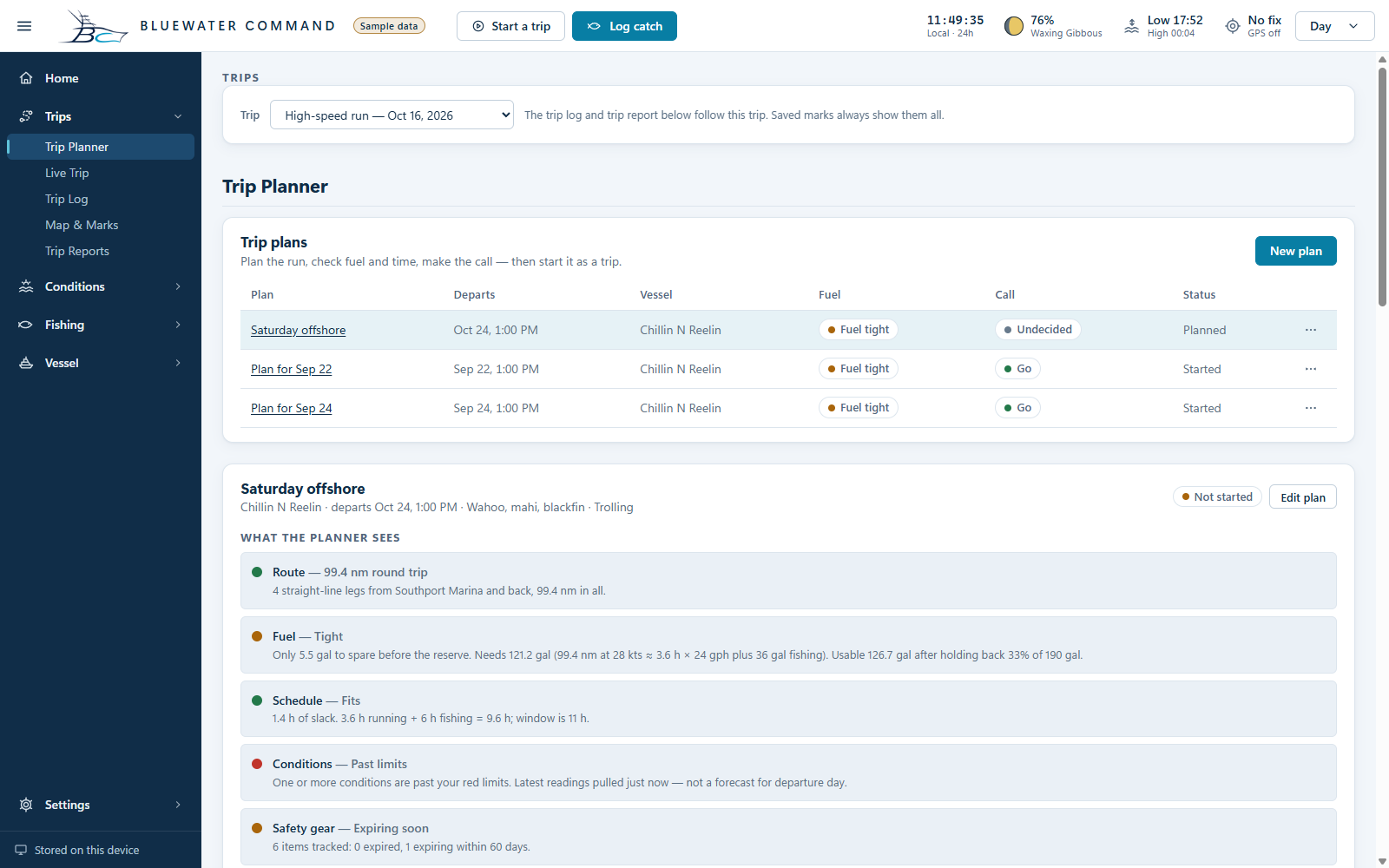
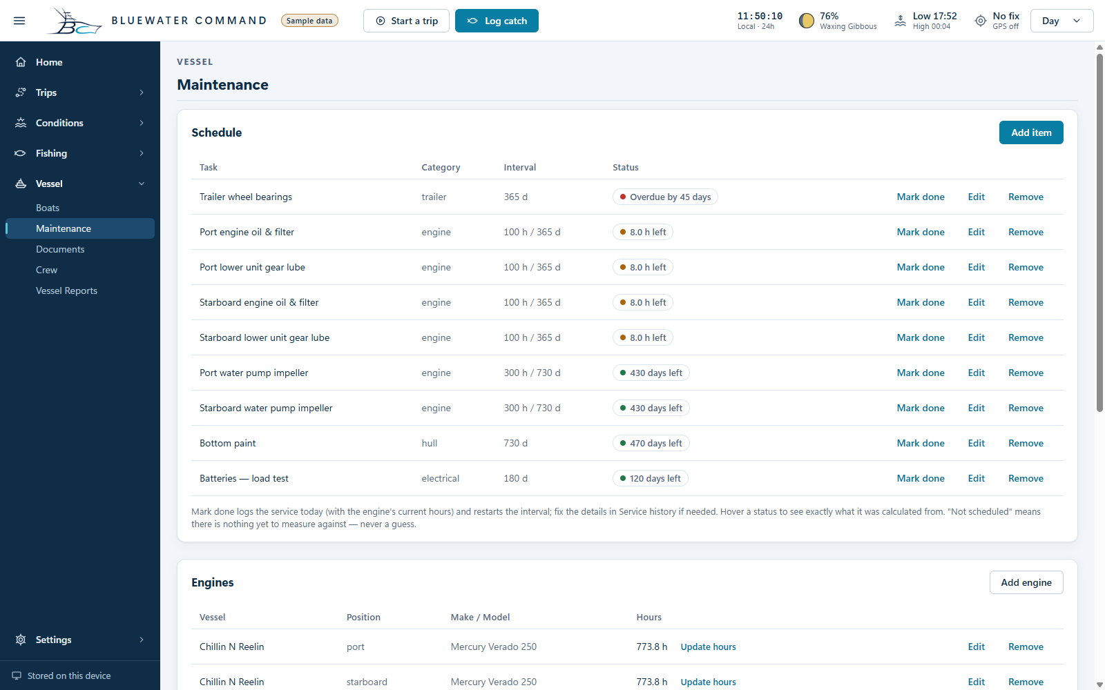
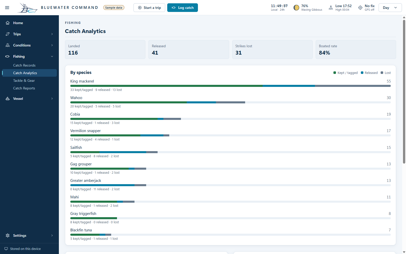
Can I download it right now?+
Not yet. A working Windows development build exists, but public Alpha hasn’t been released. The website will offer the free Alpha download when it’s ready.
Will it work without internet?+
Core logging and saved records are designed for offline use. Fresh forecasts and new map areas need a connection. The development build caches map tiles you have viewed; complete regional downloads and pre-trip conditions downloads are still planned. Prepare what you need before leaving coverage.
Will you sell my data or share my spots?+
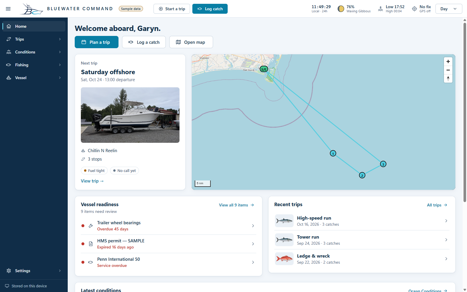
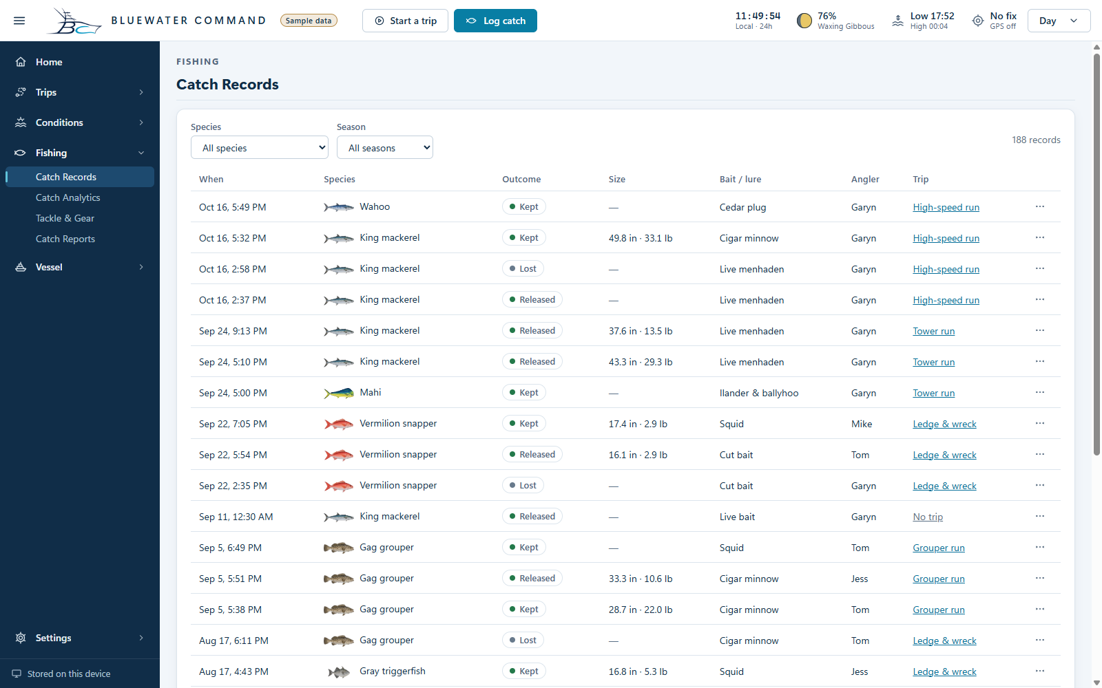
No selling personal data or fishing spots is a core commitment. You decide what to share. Show, Blur, and Hide controls are documented in the development build. The illustration above is fictional and is not a demonstration of a publicly released security feature. See our promise for the approach.
What will it cost?+
Bluewater Command will be free at launch. We’ll announce future paid plans and pricing on this website later. Core safety tools and full data export will stay free.
What about iPhone, Android, or a Mac?+
The iOS and Android mobile apps and Windows version are planned to launch together with the first edition, targeting spring 2027. A free Windows Alpha is planned earlier for testing. A Mac version is not currently announced. Release timing depends on testing and platform readiness.
Can I take my records with me?+
Yes—free full export is part of the product commitment. Supported formats and the scope of exports will be documented for the public release. Your own information should not become a reason you have to keep paying.
Is this just for charter captains?+
No. The launch plan includes shore, pier, surf, kayak, inshore, and offshore saltwater anglers. You won’t need to own a boat. Vessel and crew tools are there for those who need them; the fishing tools are intended for every supported style. Freshwater support is not yet promised.
Will my phone and Windows app sync automatically?+
Not promised at launch. Launching on three platforms does not automatically mean connected records. Optional paid cloud sync is being evaluated, and local transfer options are planned. We’ll confirm the supported ways to move records before release.
What maps are included?+
The development build has satellite imagery, NOAA charts, and seafloor shading, starting with North Carolina as the pilot region. Viewed tiles are cached; regional offline packages and additional terrain packages are still planned. Coverage varies, and these tools do not replace approved navigation equipment or official charts.
Can I suggest a feature?+
Please do. Tell us what’s missing, what you’re trying to accomplish, and how you handle it today. A public suggestion board may come later. Feedback helps set priorities; it doesn’t guarantee a feature or deadline.
Does it connect to NMEA 2000 equipment?+
Not as a publicly released offering. Marine-electronics integration and dedicated hardware are longer-term plans. There is no hardware preorder, compatibility promise, or committed ship date here.
No bites. Try another search.


 Enlarge screenshot ↗